Graubüden & Engadin Davos
Davos
Plan your trip
A handcrafted itinerary for Davos.
SleepFind your stay
A short, curated list. None of them a chain.
GuidesFollow a route
Hand-curated, walked before written.
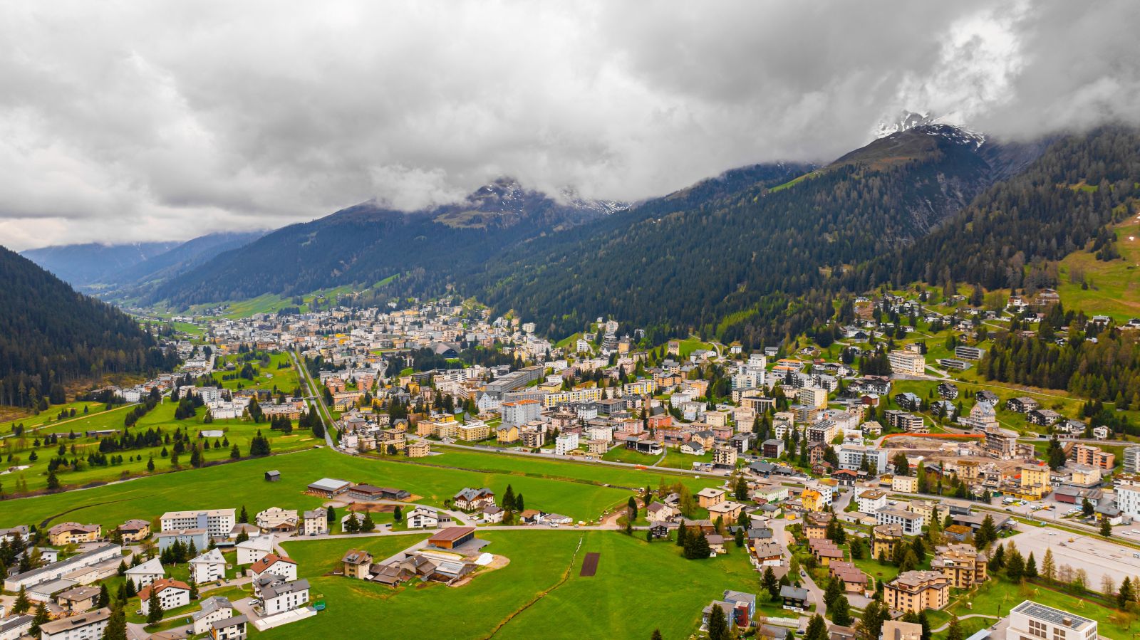
At 1,560 metres above sea level, Davos is the highest town in Europe. It lies in the Landwasser valley in the canton of Graubünden, split into two adjoining villages, Davos Platz and Davos Dorf, first recorded in 1213 under the name Tavaus. Six ski areas surround the valley: Parsenn, Jakobshorn, Madrisa, Pischa, Rinerhorn and Schatzalp, holding close to 280 kilometres of slopes between them. The Parsenn run from Weissfluhjoch down to Küblis stretches twelve kilometres, one of the longest descents in the Alps. Every January the World Economic Forum takes over the congress centre on Davos Platz; the rest of the year, the town returns to its own rhythm.
What makes Davos slow travel perfect
Davos is a town built on altitude. Doctors sent tuberculosis patients here in the nineteenth century for the thin, dry mountain air, and the sanatoriums that grew up along the valley gave Thomas Mann the setting for Der Zauberberg, published in 1924. That history still shows: wide balconies built for open-air rest cures, a stillness that settles once the skiers head up the mountain.
The Sertig Valley opens south of the town, its road ending in a horse-drawn carriage ride to the Ducan waterfall. Lake Davos sits near Davos Dorf, dark and flat against the surrounding peaks. In winter the Spengler Cup fills the ice rink, the oldest international ice hockey tournament in the world, running since 1923. In summer the same slopes that carry skiers in January open up for walking, the Weissfluhjoch cable car lifting hikers instead of racers.
Two weeks a year, Davos is loud: the Forum in January, the Festival in August. The rest of the time, it is a mountain town with a train station, a lake, and six peaks that empty out once the season moves on.