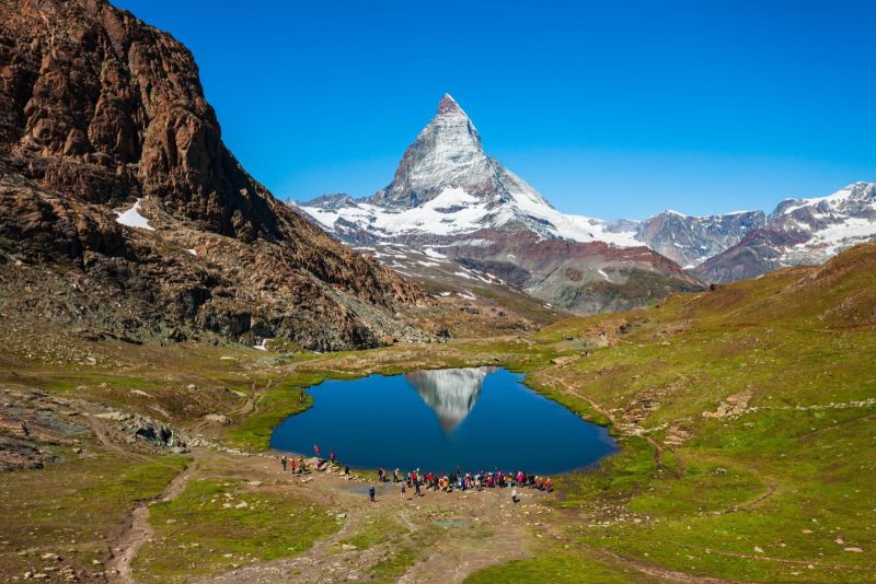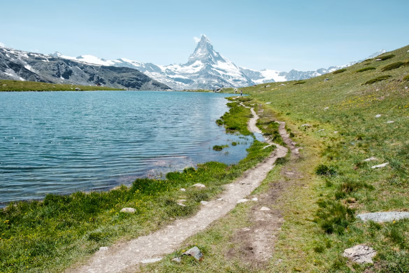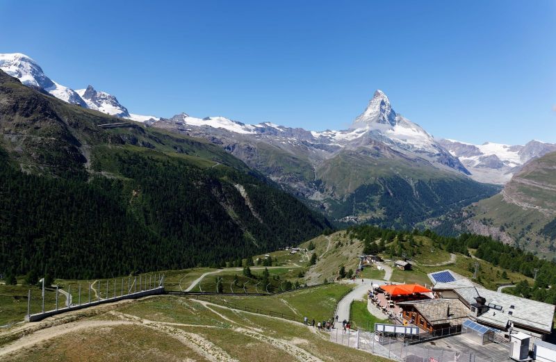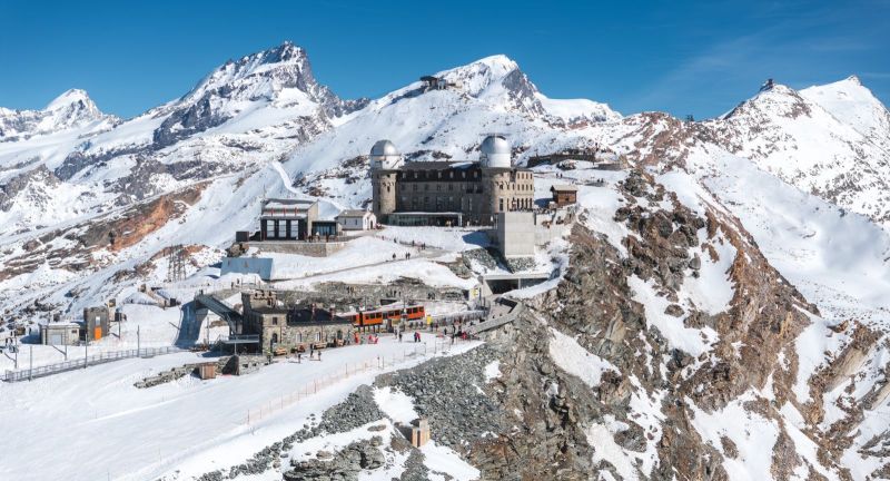
At 3,089 metres, the Matterhorn finally meets its equals.
Freedom trail
Thirty-eight four-thousanders rise into view and none of them belong to just one country.
At 3,415 metres, this is the highest hiking trail in Zermatt and among the highest in Europe. It climbs from the Rothorn to the summit of the Oberrothorn across scree and bare rock, terrain too exposed for most alpine plants, though a handful of rare grasses and endemic species still take hold in the gaps between stones.
Metal sculptures placed along the route form a loose narrative, moving from the geology underfoot toward something closer to reflection. Whether that framing lands depends on the walker. What is not in question is the view from the top: thirty-eight peaks above four thousand metres, spread across Switzerland, Italy and France.
From Rothorn to the Oberrothorn summit and back, it's about 5.8 km round trip, roughly 3 hours, with 445 metres of ascent. The trail is open June to September and suits only those with hiking experience and a head for exposed ground.